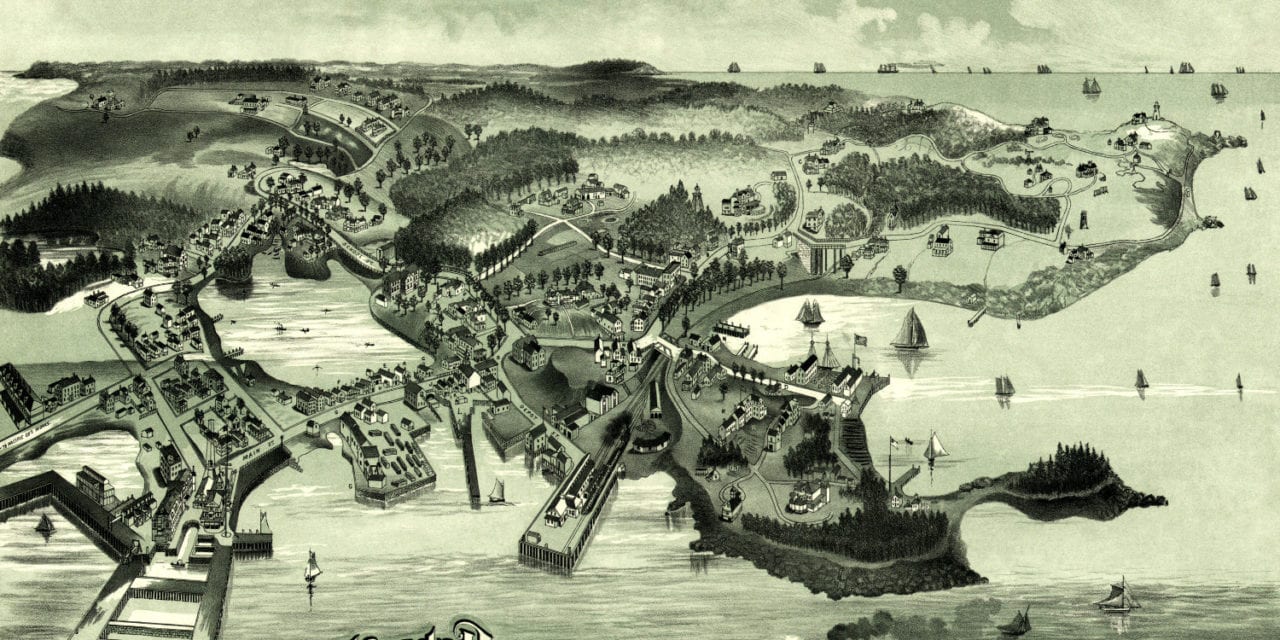
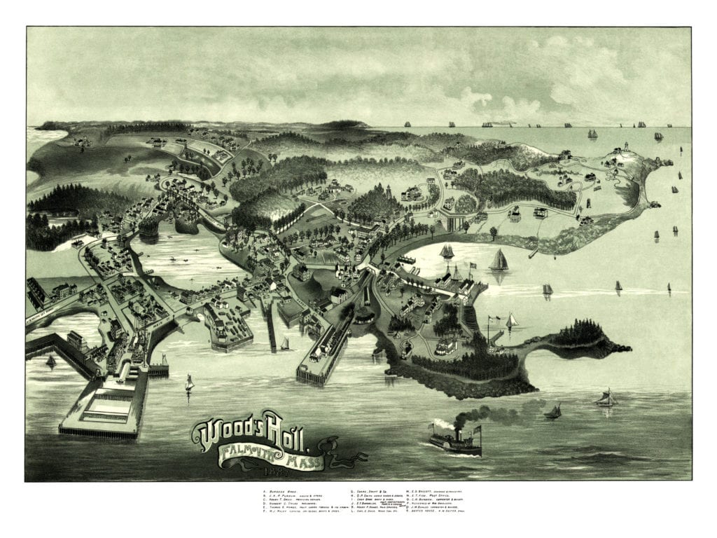
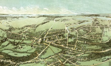
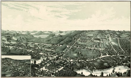
This old map of Woods Hole in Falmouth, Massachusetts was created in 1887 by George H. Walker. Walker ran a publishing and Lithography business in Portland, Maine. His firm operated well into the 20th century and is well known for their beautifully illustrated bird’s eye views of towns across New England, including this one.
The map shows a bird’s eye view of “Woods Holl” (now spelled “Woods Hole”), in the late 19th century. Landmarks on the map include Thomas E. Howes’ Fruit, Cigar, Tobacco & Ice Cream shop, Look Brothers Boots & Shoes, hair stylist Henry F. Howes, Wood’s Holl Post Office, and more.
Click here to see Wood’s Holl, MA in 1887.
Reproductions of the restored map are available here.
This old map of Woods Hole has been lovingly restored by the team at KNOWOL. Reproductions of the restored map are available on museum quality, archival paper to ensure that this piece of Massachusetts history can be passed on to the next generation. Click here to get a copy of the restored map.

