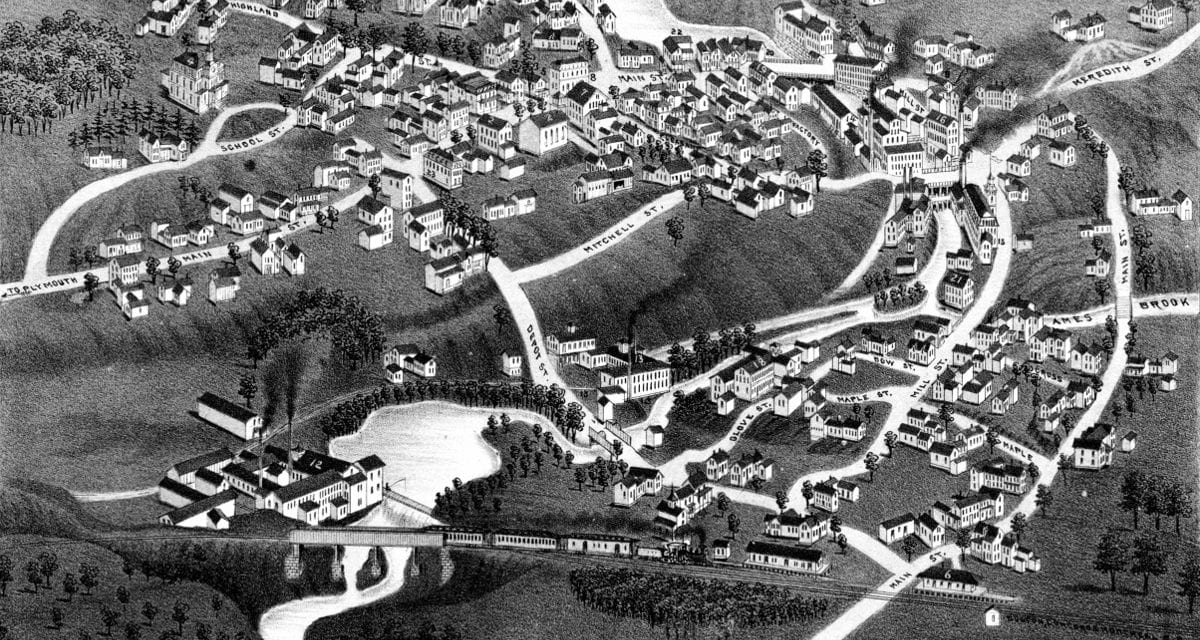
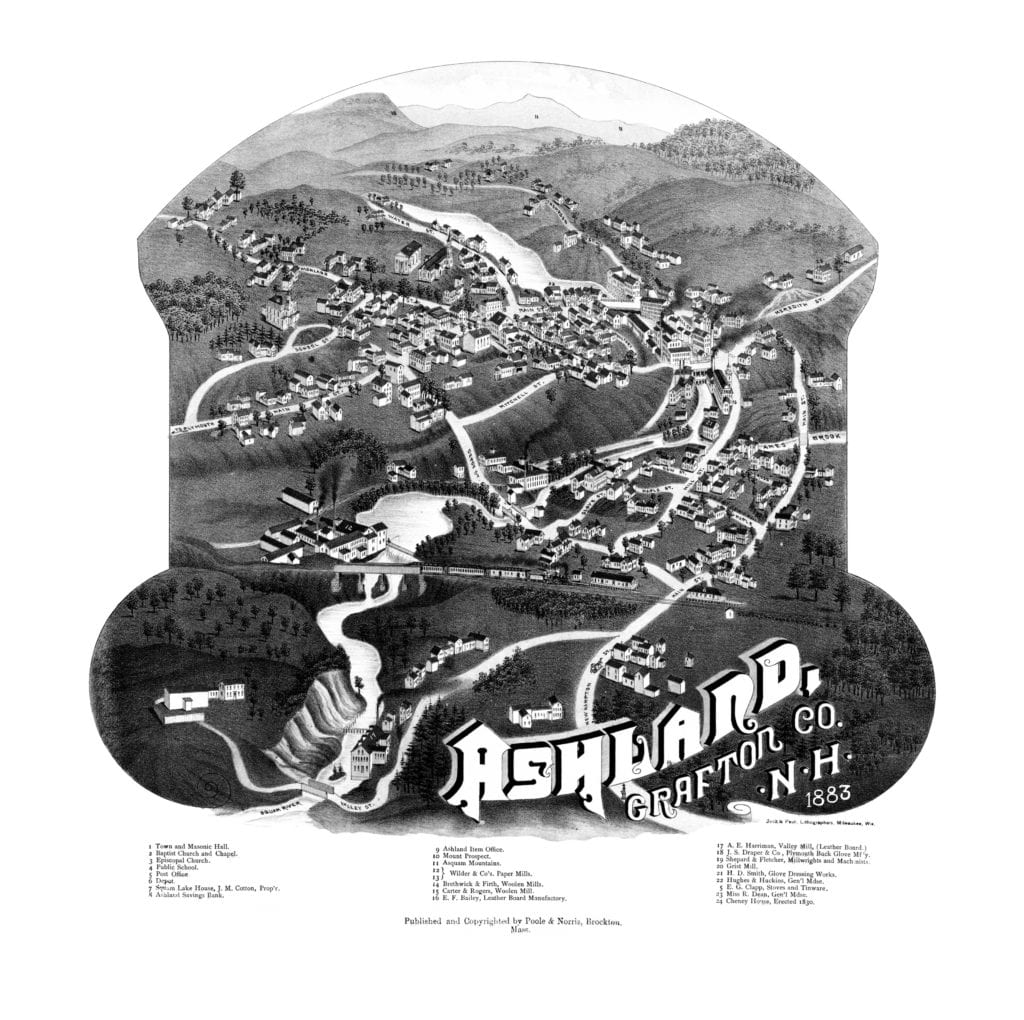
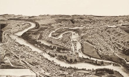
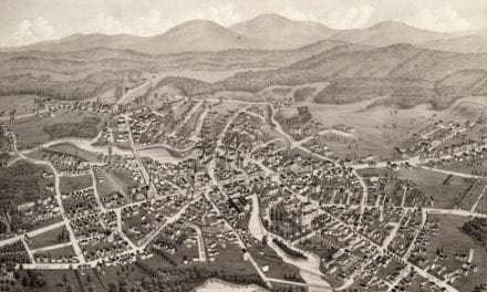
This map shows Ashland, New Hampshire as it looked in 1883. The map was originally created by Beck & Pauli lithographers, and has been restored by KNOWOL.
The map provides a bird’s eye view of Ashland landmarks such as Ashland Town Hall, Ashland Masonic Hall, Ashland Savings Bank, Mount Prospect and more.
Explore a larger copy of the map below, or click here to get a high resolution print of this map.

