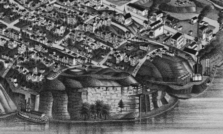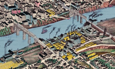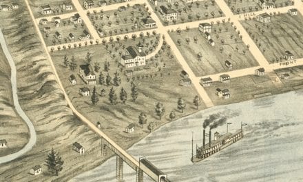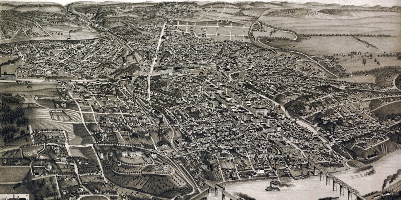
This historic old map of Knoxville, Tennessee was created in 1886 by George Norris & Henry Wellge, two prominent 19th century cartographers. The map shows a bird’s eye view of Knoxville as it used to be, including street names and old landmarks.
Landmarks on the map include Tennessee University, Lawson McGhee Library, Girls High School, Austin School, Bell House School, Knoxville Opera House, Turner Park, Fort Sanders, Knoxville Iron Company, Knoxville Woolen Mills, Phoenix Marble Works, Knoxville Furniture, Samuels Keg Factory, Knoxville Button Factory, Barker Bucket Factory, Knoxville Ice Company, and more.
This historic map of Knoxville, TN has been restored by KNOWOL. Reproductions of the map are available here.
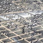
Bird’s Eye View of Knoxville, Tennessee in 1886
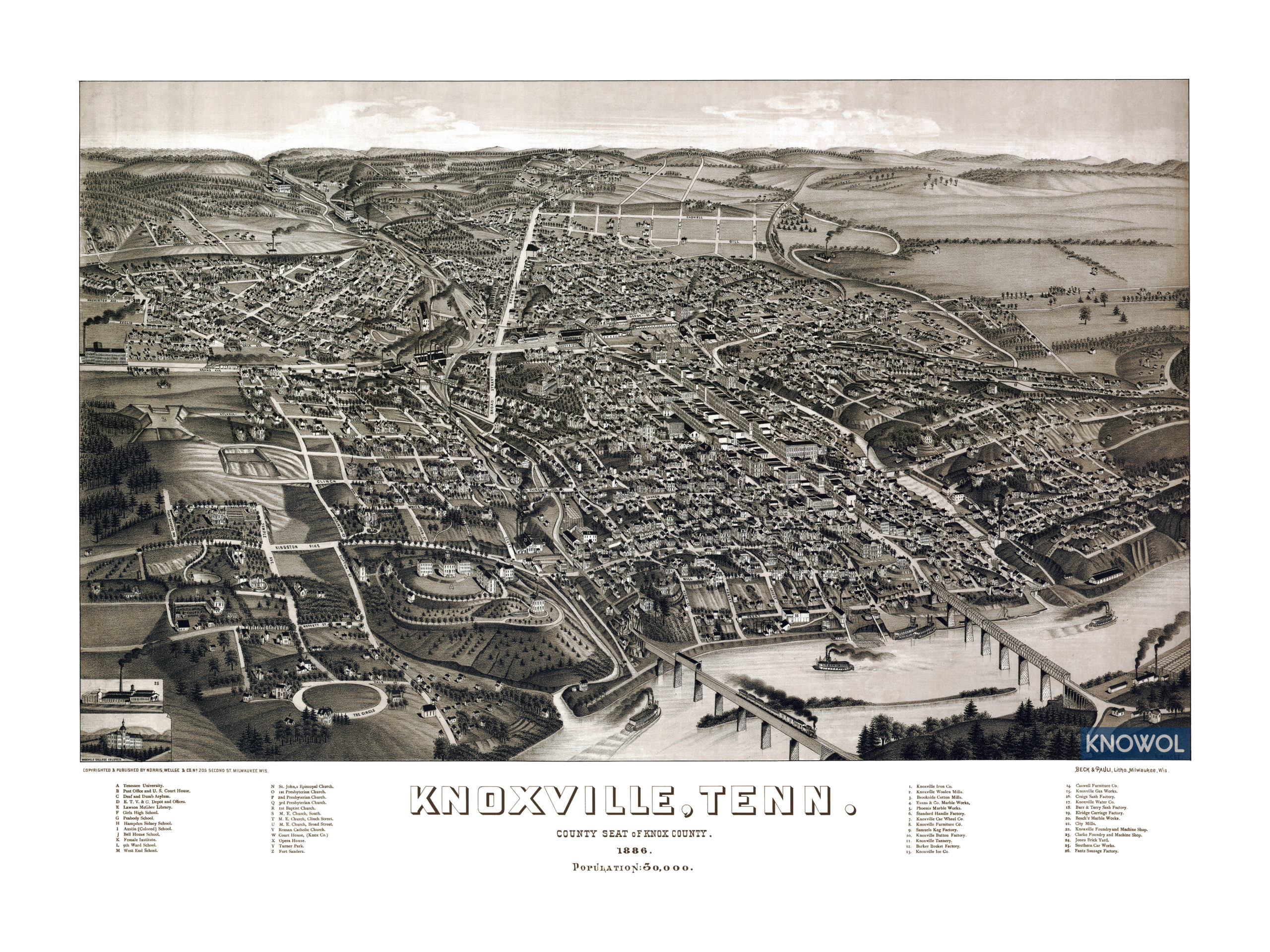
This historic map of Knoxville will make an attractive addition to your office, library, or den and can even be used to teach children the geography and history of the area. When you’re done exploring, click here to get your copy.