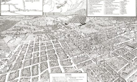
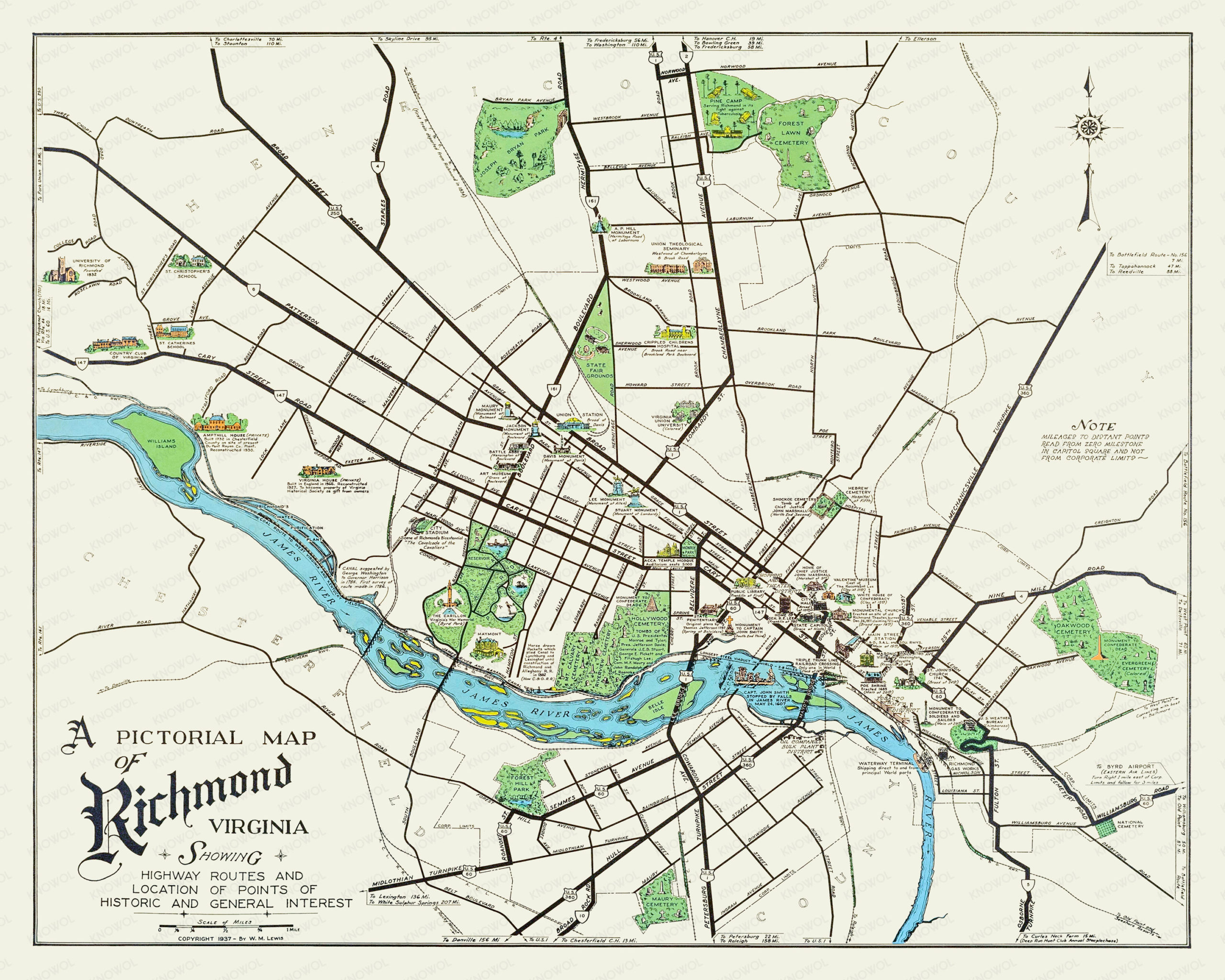
This historic map of Richmond, Virginia was created in 1937 by W.M. Lewis, and shows a beautifully illustrated view of the city as it used to look. The map includes historical landmarks, street names and other interesting notes from Richmond’s past.
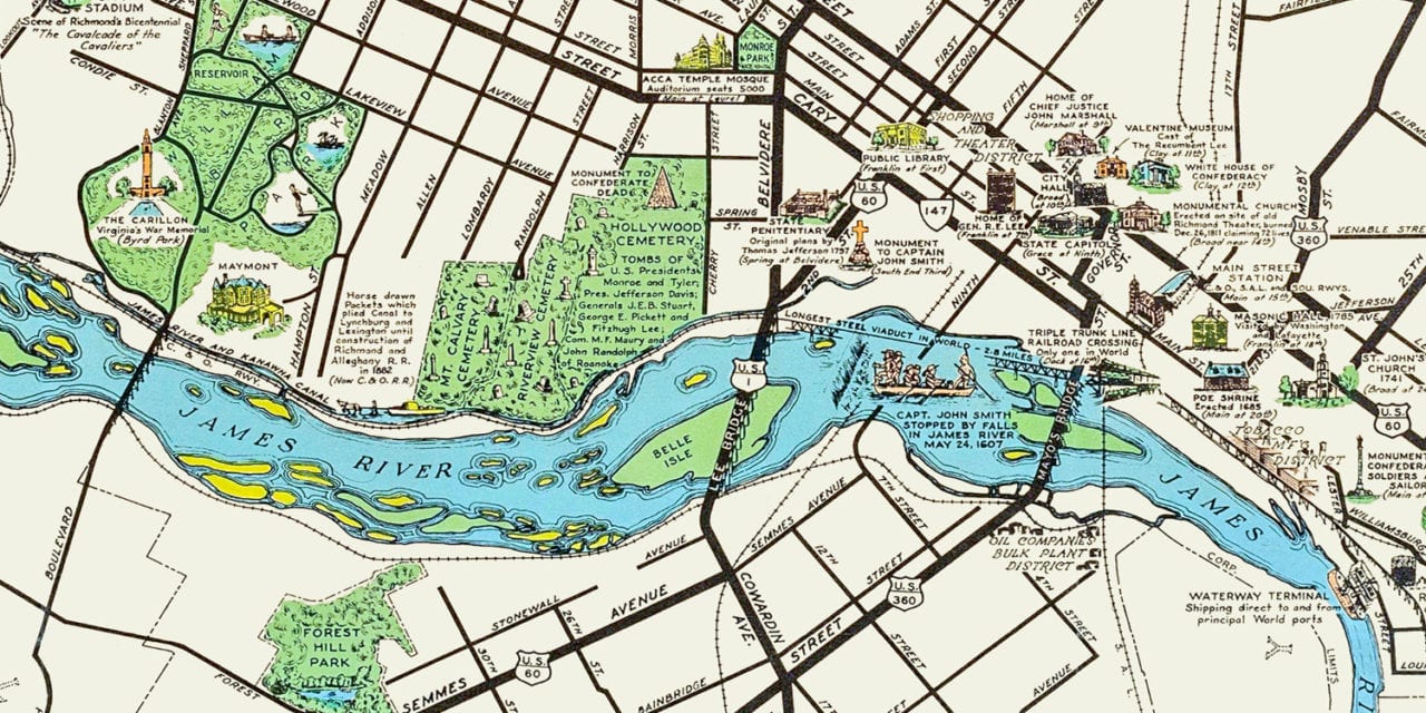
Landmarks on the map include University of Richmond, The Carillon at Byrd Park, City Stadium, St. Catherine’s School, Shopping and Theatre District, Stuart Monument, Forest Hill Park, Main Street Station, canal suggested by George Washington to Governor Harrison in 1784, Midlothian Turnpike, James River, and more.
This historic map of Richmond has been restored by KNOWOL. A limited number of reproductions of the map are available here.
Click to see the full map of Richmond,Virginia from 1937
Historic Richmond Landmarks on the Map
-
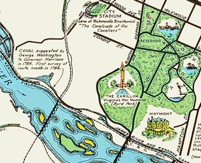
Pictured: Canal suggested by George Washington to Governor Harrison in 1784. The Carillon, Virginia’s War Memorial in Byrd Park. City Stadium, scene of Richmond’s Bicentennial “The Cavalcade of the Cavaliers”. -
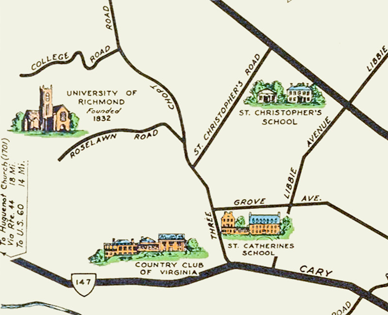
University of Richmond, Country Club of Virginia, St. Catherine’s School, and St. Christopher’s School. -
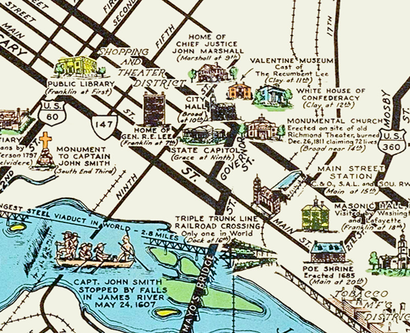
Shopping and Theater District, Masonic Hall, Monumental Church, White House of the Confederacy, Monument to Captain John Smith, Poe Shrine, and more.
This wonderfully illustrated map of Richmond makes an attractive addition to your office, library, or den, and can even be used to teach children the geography and history of the area. When you’re done exploring, click here to get your copy of the restored map.